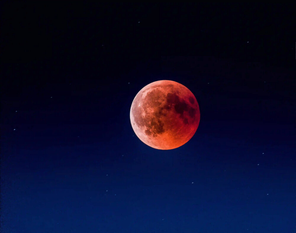
The night sky has fascinated humans for millennia. Stargazing enthusiasts often marvel at the celestial wonders above, seeking to understand their movements and patterns. While modern technology like GPS has made navigation easier, celestial navigation techniques have been used for centuries to guide ships, airplanes, and even spacecraft across vast distances. In this blog post, we will delve into the world of celestial navigation, exploring the techniques and tools used to navigate by the stars.
The Basics of Celestial Navigation
Celestial navigation involves using observations of celestial objects, such as stars, planets, and the moon, to determine one’s position on Earth. It is based on the principles of spherical geometry and trigonometry, which allow for precise calculations of angles and distances.
The most fundamental tool for celestial navigation is the sextant, a device used to measure the angle between two celestial objects or between a celestial object and the horizon. By measuring the angle between a celestial object and the horizon, sailors can calculate their latitude, while the angle between two celestial objects allows for the determination of longitude.
Navigating by the Stars
To navigate by the stars, one needs to be able to identify and track specific celestial objects. The North Star, or Polaris, is particularly important for navigation in the Northern Hemisphere, as it remains stationary in the sky and serves as a reference point for determining direction. Other stars, such as Betelgeuse, Rigel, and Sirius, are also commonly used for navigation.
One technique for determining latitude is called meridian altitude. This involves taking a sextant reading of the altitude of a celestial object when it reaches its highest point in the sky, known as its meridian passage. By comparing this altitude with the object’s declination, which is its angular distance from the celestial equator, one can determine the observer’s latitude.
Longitude, on the other hand, is determined by measuring the time difference between the meridian passage of a celestial object and the local noon. This is done using a device called a chronometer, which gives accurate time readings.
Challenges of Celestial Navigation
While celestial navigation can be a highly accurate method of determining one’s position, it does come with its challenges. One notable challenge is the need for clear skies to make accurate observations. Cloud cover or poor visibility can make it difficult to identify celestial objects and take accurate sextant readings.
Another challenge is the need for precise measurements and calculations. Even small errors in sextant readings or timekeeping can result in significant errors in latitude and longitude calculations.
Modern Applications of Celestial Navigation
Despite the availability of modern navigation technologies like GPS, celestial navigation remains a vital skill in certain fields. For example, sailors often learn celestial navigation as a backup method in case of GPS failure. Pilots also learn celestial navigation as part of their training, although it is rarely used in practice.
Celestial navigation also has applications in space travel. Deep space probes, such as Voyager 1 and 2, use celestial navigation to determine their positions as they travel beyond the range of GPS signals.
Conclusion
Celestial navigation is a fascinating and time-tested method of guiding oneself across the globe. While modern technology has made navigation easier, the principles of celestial navigation remain relevant today. By using the stars, sailors, pilots, and astronauts can navigate across vast distances with remarkable accuracy. Whether for practical purposes or simply for the joy of stargazing, celestial navigation offers a unique and rewarding way to explore our world and the cosmos beyond.
