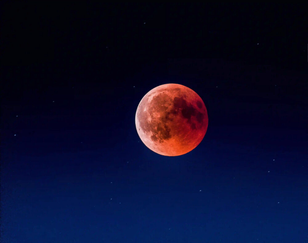
For centuries, humans have looked up at the night sky and marvelled at its beauty. But beyond its aesthetic appeal, the stars have played a crucial role in navigation and cartography. Before the advent of GPS and satellite imagery, sailors and explorers relied on the positions of celestial bodies to navigate the seas and map the world. In this blog post, we will explore the fascinating history of astronomy’s role in navigation and cartography.
Early Navigation Techniques
Before the development of sophisticated navigational instruments, ancient seafarers relied on the position of the sun and stars to guide their ships. By observing the motion of the sun, they were able to determine the direction of east and west. At night, they used the position of certain stars, such as Polaris, to determine their latitude. These early methods were rudimentary, but they allowed sailors to explore vast distances and paved the way for future discoveries.
The Age of Exploration
During the Age of Exploration in the 15th and 16th centuries, advances in astronomy and navigation led to groundbreaking discoveries. Portuguese navigators, such as Bartolomeu Dias and Vasco da Gama, used the stars to chart new trade routes and establish colonies in Africa and Asia. Christopher Columbus also relied on celestial navigation during his voyages to the New World. By using a simple instrument called the quadrant, he was able to determine his latitude by measuring the angle between the horizon and the North Star.
The Birth of Cartography
As explorers sailed further and further from home, the need for accurate maps became increasingly important. In the 16th century, Gerardus Mercator developed a new type of map projection that revolutionized cartography. His Mercator projection preserved the shapes of continents and oceans while distorting their sizes, making it easier for sailors to navigate across long distances. To create these maps, cartographers relied on the positions of celestial bodies to determine longitude and latitude.
The Advent of the Chronometer
Determining longitude, or the east-west position of a ship at sea, proved more challenging than determining latitude. In the 18th century, the British government offered a prize for anyone who could develop an accurate method for determining longitude. The solution came in the form of the chronometer, a time-keeping device that could accurately measure the time difference between the ship’s location and a reference meridian. With the chronometer, sailors could calculate their longitude with unprecedented accuracy, revolutionizing navigation and cartography.
Modern Day Navigation
Today, advances in technology have made navigation and cartography more precise and efficient than ever before. GPS satellites orbiting the Earth provide real-time location data to anyone with a smartphone or GPS receiver. However, even with these advancements, the importance of celestial navigation cannot be overstated. In remote regions of the world, where GPS signals may be weak or unavailable, celestial navigation remains a critical skill for sailors and pilots.
Conclusion
The history of astronomy’s role in navigation and cartography is a testament to human ingenuity and our unyielding desire to explore the world around us. From the early techniques of ancient sailors to the cutting-edge technology of modern day navigation, the stars have guided us on our journeys across the seas and skies. As we continue to push the boundaries of exploration, we must not forget the important role that astronomy has played in shaping our understanding of the world and our place in the universe.
